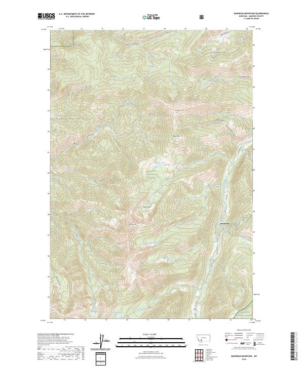
2024 Map of Manhead Mountain
USGS Topo · Published 2024About this map
Mammoth sits at the nexus of several mountain drainages in this high-altitude landscape of Madison County. The terrain is defined by the Tobacco Root Mountains, where sharp elevation changes create dramatic features like Hells Hole and Manhead Mtn. This area serves as a significant watershed, feeding the South Boulder River through a network of creeks including Cataract Creek and McGovern Creek. High alpine waters such as Rock Cr Lake, Beall Lake, and Curly Lake are tucked into the glacial cirques and valleys of the Deerlodge National Forest and Beaverhead National Forest. Evidence of the region's historical labor remains at the Old Miners Cabin, located along the route of S Boulder Rd, reflecting the era when prospecting and timber extraction drove the local economy in these isolated canyons.
Find a feature on this map
39 named features on this map. Tap any name to fly to it.
Don’t see what you’re looking for? This feature index may not catch every label — zoom into the map to look around manually.
Map Details
Editions of this 2024 Manhead Mountain Map
This is the sole edition of this map. No revisions or reprints were ever made.
Other maps of this area

1888 · Three Forks
USGS Topo · 1:250,000

1893 · Dillon
USGS Topo · 1:250,000

1894 · Three Forks
USGS Topo · 1:250,000

1895 · Three Forks
USGS Topo · 1:250,000

1947 · Bozeman
USGS Topo · 1:250,000

1948 · Bozeman
USGS Topo · 1:250,000

1950 · Jefferson Island
USGS Topo · 1:62,500

1950 · Harrison
USGS Topo · 1:62,500

1955 · Bozeman
USGS Topo · 1:250,000

1955 · Dillon
USGS Topo · 1:250,000