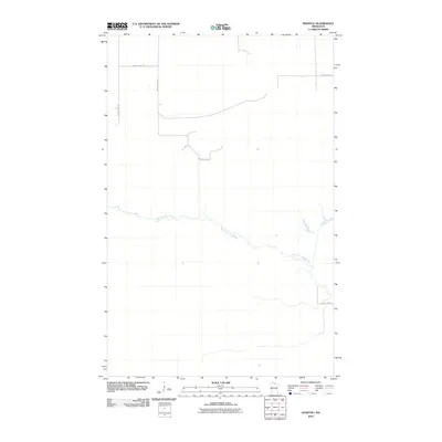
2010 Map of Manitou
USGS Topo · Published 2010About this map
The West Fork Black River meanders across the central portion of this northern Minnesota landscape, creating a serpentine drainage pattern through the low-lying terrain. This 2010 survey by the U.S. Geological Survey shows a region defined primarily by its hydrological features and a sparse network of rural transit routes. The infrastructure is characterized by several arterial roads, including County Hwy-84, which provides a north-south connection across the quadrangle. Other routes such as County Hwy-148 and County Hwy-149 intersect in the northwest corner, outlining the basic grid of the county road system. The lack of concentrated settlement labels suggests a wilderness or timber-focused area, where the primary landmarks are the river and its small tributaries branching off into the surrounding wetland-rich environment.
Find a feature on this map
6 named features on this map. Tap any name to fly to it.
Don’t see what you’re looking for? This feature index may not catch every label — zoom into the map to look around manually.
Map Details
Editions of this 2010 Manitou Map
This is the sole edition of this map. No revisions or reprints were ever made.
Other maps of this area

1919 · Birchdale
USGS Topo · 1:62,500

1919 · I
USGS Topo · 1:62,500

1943 · Lindford
USGS Topo · 1:62,500

1954 · Roseau
USGS Topo · 1:250,000

1954 · International Falls
USGS Topo · 1:250,000

1957 · Roseau
USGS Topo · 1:250,000

1957 · International Falls
USGS Topo · 1:250,000

1958 · International Falls
USGS Topo · 1:250,000

1958 · Roseau
USGS Topo · 1:250,000

1968 · Birchdale SE
USGS Topo · 1:24,000