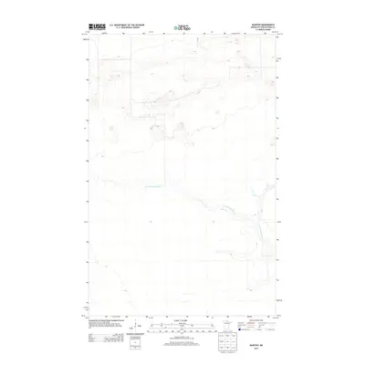
2013 Map of Manitou
USGS Topo · Published 2013About this map
The W Fork Black River meanders across this northern Minnesota landscape in Koochiching County, showing the intricate drainage patterns characteristic of this low-relief region. Surveyed in 2013, the map illustrates the winding course of the west fork through a territory largely defined by subtle elevation changes and expansive wetlands. The absence of developed roads or major settlements within this specific quadrangle emphasizes its character as a remote wilderness area where natural hydrology remains the primary geographic feature. Researchers can trace the river's path as it bends through the northern and eastern sections of the terrain, providing a look at the hydrography of the Big Fork River basin.
Find a feature on this map
1 named feature on this map. Tap any name to fly to it.
Don’t see what you’re looking for? This feature index may not catch every label — zoom into the map to look around manually.
Map Details
Editions of this 2013 Manitou Map
This is the sole edition of this map. No revisions or reprints were ever made.
Other maps of this area

1919 · Birchdale
USGS Topo · 1:62,500

1919 · I
USGS Topo · 1:62,500

1943 · Lindford
USGS Topo · 1:62,500

1954 · Roseau
USGS Topo · 1:250,000

1954 · International Falls
USGS Topo · 1:250,000

1957 · Roseau
USGS Topo · 1:250,000

1957 · International Falls
USGS Topo · 1:250,000

1958 · International Falls
USGS Topo · 1:250,000

1958 · Roseau
USGS Topo · 1:250,000

1968 · Birchdale SE
USGS Topo · 1:24,000