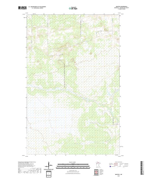
2022 Map of Manitou
USGS Topo · Published 2022About this map
The W Fork Black River defines much of the hydrology in this portion of Koochiching County, meandering through a landscape characterized by extensive wetlands and low-lying terrain. This modern survey illustrates a remote section of northern Minnesota where the road network is primarily composed of county routes and utility tracks, reflecting the area's specialized use for timber, conservation, or resource management rather than dense settlement. Notable infrastructure includes Co Rd 84 and Co Rd 149 in the northern sections, while Ut 120 and Ut 485 provide access to the interior. The map clearly delineates the township and range lines, such as t159n r26w and t159n r25w, which are essential for property research and understanding the Public Land Survey System in this wilderness-heavy region.
Find a feature on this map
12 named features on this map. Tap any name to fly to it.
Don’t see what you’re looking for? This feature index may not catch every label — zoom into the map to look around manually.
Map Details
Editions of this 2022 Manitou Map
This is the sole edition of this map. No revisions or reprints were ever made.
Other maps of this area

1919 · Birchdale
USGS Topo · 1:62,500

1919 · I
USGS Topo · 1:62,500

1943 · Lindford
USGS Topo · 1:62,500

1954 · Roseau
USGS Topo · 1:250,000

1954 · International Falls
USGS Topo · 1:250,000

1957 · Roseau
USGS Topo · 1:250,000

1957 · International Falls
USGS Topo · 1:250,000

1958 · International Falls
USGS Topo · 1:250,000

1958 · Roseau
USGS Topo · 1:250,000

1968 · Birchdale SE
USGS Topo · 1:24,000