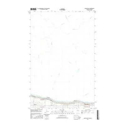
2016 Map of Manitou OE N
USGS Topo · Published 2016About this map
Rainy River forms a definitive international boundary in this northern landscape, separating Minnesota from Canada. The settlement of Manitou sits along the southern bank, where the land is characterized by the turbulent Manitou Rapids. This 2016 survey illustrates the remote, water-defined geography of Koochiching Co, where numerous tributaries such as Sturgeon Cr, Sims Cr, and Manitou Cr drain southward toward the border. The intricate network of small streams like Mather I Cr and Mather II Cr highlights the low-lying, riparian nature of the terrain north of the river. Infrastructure is concentrated near the border, where Co Rd 148 and various utility corridors provide access to this isolated riverfront community.
Find a feature on this map
20 named features on this map. Tap any name to fly to it.
Don’t see what you’re looking for? This feature index may not catch every label — zoom into the map to look around manually.
Map Details
Editions of this 2016 Manitou OE N Map
This is the sole edition of this map. No revisions or reprints were ever made.
Other maps of this area

1919 · Birchdale
USGS Topo · 1:62,500

1954 · Roseau
USGS Topo · 1:250,000

1954 · International Falls
USGS Topo · 1:250,000

1957 · Roseau
USGS Topo · 1:250,000

1957 · International Falls
USGS Topo · 1:250,000

1958 · International Falls
USGS Topo · 1:250,000

1958 · Roseau
USGS Topo · 1:250,000

1968 · Birchdale SE
USGS Topo · 1:24,000
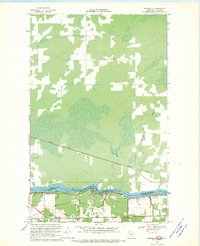
1968 · Birchdale
USGS Topo · 1:24,000
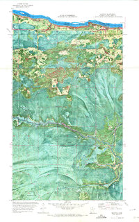
1970 · Manitou
USGS Topo · 1:24,000