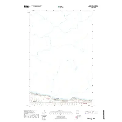
2019 Map of Manitou OE N
USGS Topo · Published 2019About this map
The Rainy River defines the international boundary between Ontario and Minnesota in this 2019 survey, where the Manitou Rapids churn near the small settlement of Manitou. The landscape is dominated by a dense network of watercourses flowing north through the Canadian wilderness, including the meandering paths of Sturgeon Cr, Sims Cr, and Manitou Cr. This northern landscape reflects a quiet, modern era of remote borders and managed forests, with limited infrastructure represented by rural routes like Co RD 148 and W Co RD 83. The map captures the significant hydrological transition from the primary river basin into the complex tributary systems of Mather I Cr and Mather II Cr, providing a clear record of the watershed and jurisdictional lines in this borderland region.
Find a feature on this map
20 named features on this map. Tap any name to fly to it.
Don’t see what you’re looking for? This feature index may not catch every label — zoom into the map to look around manually.
Map Details
Editions of this 2019 Manitou OE N Map
This is the sole edition of this map. No revisions or reprints were ever made.
Other maps of this area

1919 · Birchdale
USGS Topo · 1:62,500

1954 · Roseau
USGS Topo · 1:250,000

1954 · International Falls
USGS Topo · 1:250,000

1957 · Roseau
USGS Topo · 1:250,000

1957 · International Falls
USGS Topo · 1:250,000

1958 · International Falls
USGS Topo · 1:250,000

1958 · Roseau
USGS Topo · 1:250,000

1968 · Birchdale SE
USGS Topo · 1:24,000
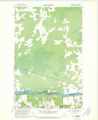
1968 · Birchdale
USGS Topo · 1:24,000
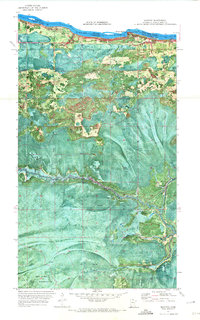
1970 · Manitou
USGS Topo · 1:24,000