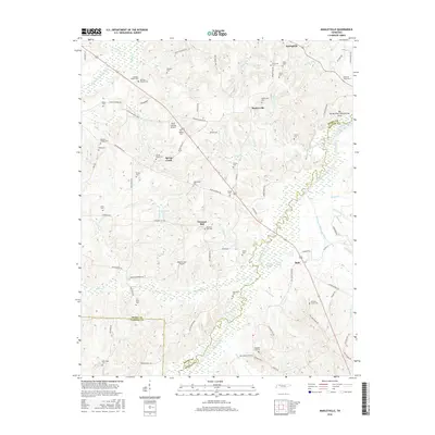
2016 Map of Manleyville
USGS Topo · Published 2016About this map
Manleyville sits at the heart of this survey of the western Tennessee landscape, where the rolling uplands of Henry and Benton counties meet the drainage networks of the Big Sandy River. The map reveals a high density of small family and community burial grounds, such as Manteys Chapel Cem and Francisco Cem, which serve as vital markers for genealogical research in this rural corridor. Aviation history and modern utility are represented by both the Paris Landing Airpark and the Meadowlark Airport, tucked between established settlements like Spring Creek and Pleasant Hill. Along the river's edge, the Big Sandy River Dewatering Area and complex sloughs like Gum Slough and Swift Slough illustrate the sophisticated water management and natural wetlands defining the eastern border of this quadrangle.
Find a feature on this map
93 named features on this map. Tap any name to fly to it.
Don’t see what you’re looking for? This feature index may not catch every label — zoom into the map to look around manually.
Map Details
Editions of this 2016 Manleyville Map
This is the sole edition of this map. No revisions or reprints were ever made.
Other maps of this area

1936 · Poplar Creek
USGS Topo · 1:24,000

1936 · Camden
USGS Topo · 1:24,000

1936 · Big Sandy
USGS Topo · 1:24,000

1936 · Mansfield
USGS Topo · 1:24,000

1936 · Vale
USGS Topo · 1:24,000

1936 · Bruceton
USGS Topo · 1:24,000

1936 · Manleyville
USGS Topo · 1:24,000

1936 · Paris
USGS Topo · 1:24,000

1936 · Springville
USGS Topo · 1:24,000

1938 · Springville
USGS Topo · 1:24,000