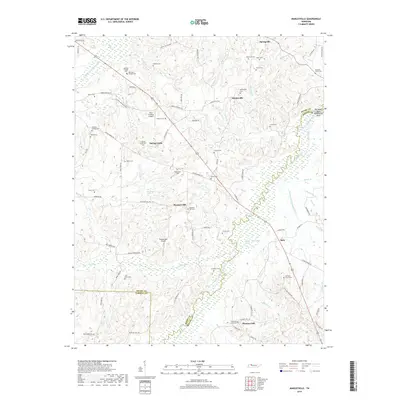
2019 Map of Manleyville
USGS Topo · Published 2019About this map
Manleyville and the surrounding rural pockets of Henry and Benton counties are defined by a complex network of waterways feeding into the Big Sandy River. The landscape is heavily influenced by hydrological management, seen in the channelized W Sandy Cr Drainage Ditch and the Rushing Cr Drainage Ditch. These features, alongside the Big Sandy River Dewatering Area, illustrate the local efforts to control the river's impact on agricultural lands.
Find a feature on this map
90 named features on this map. Tap any name to fly to it.
Don’t see what you’re looking for? This feature index may not catch every label — zoom into the map to look around manually.
Map Details
Editions of this 2019 Manleyville Map
This is the sole edition of this map. No revisions or reprints were ever made.
Other maps of this area

1936 · Poplar Creek
USGS Topo · 1:24,000

1936 · Camden
USGS Topo · 1:24,000

1936 · Big Sandy
USGS Topo · 1:24,000

1936 · Mansfield
USGS Topo · 1:24,000

1936 · Vale
USGS Topo · 1:24,000

1936 · Bruceton
USGS Topo · 1:24,000

1936 · Manleyville
USGS Topo · 1:24,000

1936 · Paris
USGS Topo · 1:24,000

1936 · Springville
USGS Topo · 1:24,000

1938 · Springville
USGS Topo · 1:24,000