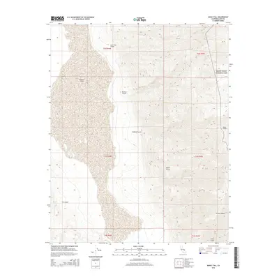
2015 Map of Manly Fall
USGS Topo · Published 2015About this map
Manly Fall sits at the heart of this landscape where the eastern edge of the Panamint Valley meets the rising slopes of the Panamint Range. This area of the Mojave Desert is characterized by its dramatic vertical relief and sparse water sources, including Colter Spring and Redlands Spring. The terrain is deeply incised by numerous drainages, most notably South Park Canyon, Big Horn Canyon, and Redlands Canyon, which have sculpted the land inside the boundaries of Death Valley National Park. Further south, the map details the complex geography around Fish Canyon and Coyote Canyon, illustrating the transition from the valley floor to the high ridges of the mountains. This survey provides a precise accounting of the hydrological features and physical landforms that defined the region’s topography in the early twenty-first century.
Find a feature on this map
19 named features on this map. Tap any name to fly to it.
Don’t see what you’re looking for? This feature index may not catch every label — zoom into the map to look around manually.
Map Details
Editions of this 2015 Manly Fall Map
This is the sole edition of this map. No revisions or reprints were ever made.
Other maps of this area

1908 · Ballarat
USGS Topo · 1:250,000

1913 · Ballarat
USGS Topo · 1:250,000

1915 · Searles Lake
USGS Topo · 1:250,000

1947 · Trona
USGS Topo · 1:250,000

1948 · Trona
USGS Topo · 1:250,000

1948 · Death Valley
USGS Topo · 1:250,000

1949 · Trona
USGS Topo · 1:62,500

1950 · Trona
USGS Topo · 1:62,500

1950 · Manly Peak
USGS Topo · 1:62,500
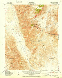
1951 · Manly Peak
USGS Topo · 1:62,500