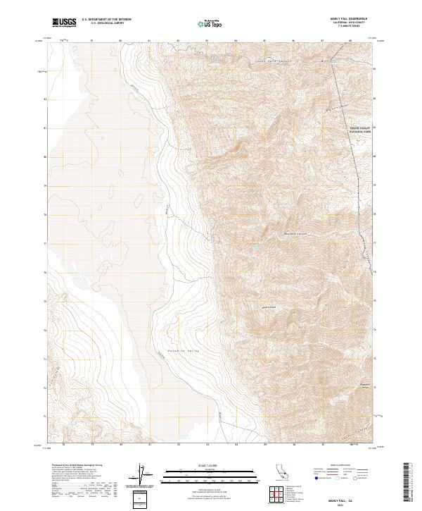
2021 Map of Manly Fall
USGS Topo · Published 2021About this map
The Panamint Range rises sharply above the eastern floor of Panamint Valley, creating a landscape defined by deep, winding drainages and seasonal water sources. Within the protected boundaries of Death Valley National Park, this terrain preserves rare desert hydrology like Goller Spring and Redlands Spring, which have served as vital stops for travelers in this arid region for generations.
Find a feature on this map
19 named features on this map. Tap any name to fly to it.
Don’t see what you’re looking for? This feature index may not catch every label — zoom into the map to look around manually.
Map Details
Editions of this 2021 Manly Fall Map
This is the sole edition of this map. No revisions or reprints were ever made.
Other maps of this area

1908 · Ballarat
USGS Topo · 1:250,000

1913 · Ballarat
USGS Topo · 1:250,000

1915 · Searles Lake
USGS Topo · 1:250,000

1947 · Trona
USGS Topo · 1:250,000

1948 · Trona
USGS Topo · 1:250,000

1948 · Death Valley
USGS Topo · 1:250,000

1949 · Trona
USGS Topo · 1:62,500

1950 · Trona
USGS Topo · 1:62,500

1950 · Manly Peak
USGS Topo · 1:62,500
1951 · Manly Peak
USGS Topo · 1:62,500