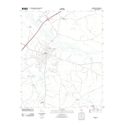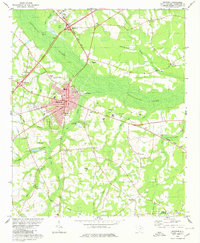
1980 Map of Manning
USGS Topo · Published 1980About this map
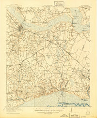
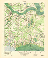
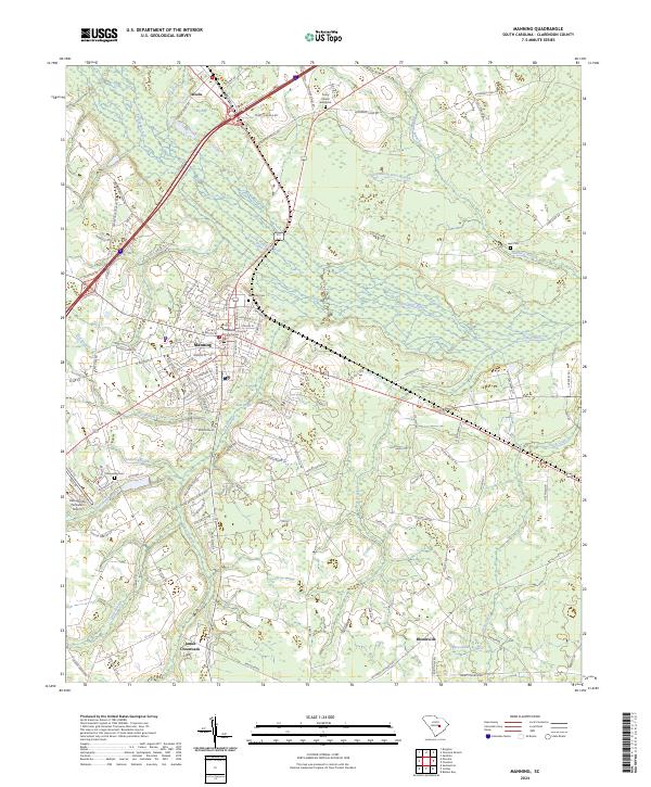
The Pocotaligo River and its dense network of tributaries, such as Ox Swamp and Bear Creek, define the geography of the South Carolina lowcountry near the city of Manning. This 1980 edition reveals the area as it transitioned from an agricultural hub to a regional center, with the Seaboard Coast Line railroad threading through settlements like Alcolu and Baggette Crossroads. Local history and genealogy interest is concentrated in the numerous rural churches and schools that dot the landscape, including the Laurence Manning Academy, Emmanuel Ch, and St Matthews Ch. The presence of large swampy depressions, like Big Bay, and the detailed mapping of individual farm structures and landmarks like the County Hospital provide a clear view of the rural-to-urban development patterns of Clarendon County in the late twentieth century.
Find a feature on this map
49 named features on this map. Tap any name to fly to it.
Don’t see what you’re looking for? This feature index may not catch every label — zoom into the map to look around manually.
Map Details
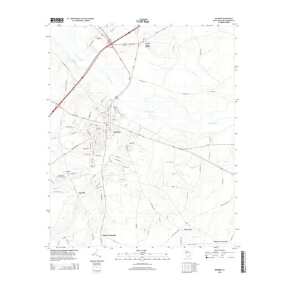
Editions of this 1980 Manning Map
This is the sole edition of this map. No revisions or reprints were ever made.
Historical Maps of Manning Through Time
9 maps found