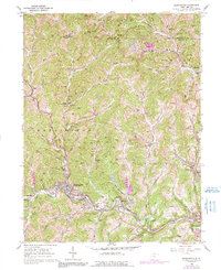
2023 Map of Mannington
USGS Topo · Published 2023About this map
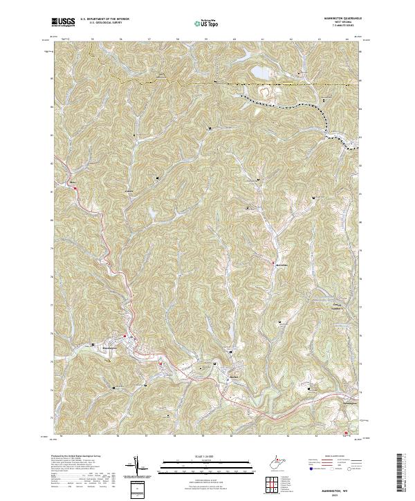
The town of Mannington serves as the focal point for this 2023 survey of Marion and Monongalia counties, where the narrow valleys of the Appalachian Plateau dictate the region's development. Settlement patterns closely follow the drainage of Buffalo Creek and its many tributaries, such as Piles Fork and Dents Run. The map meticulously documents the industrial and residential landscape of small communities like Rachel, Farmington, and Metz, showing the enduring footprint of coal mining history through the presence of Consol Number 9 and the nearby Consol Number Nine Water Supply Lake.
Find a feature on this map
130 named features on this map. Tap any name to fly to it.
Don’t see what you’re looking for? This feature index may not catch every label — zoom into the map to look around manually.
Map Details
Editions of this 2023 Mannington Map
This is the sole edition of this map. No revisions or reprints were ever made.
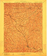
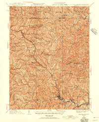
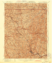
Historical Maps of Metz Through Time
5 maps found