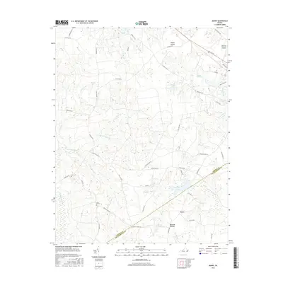
2016 Map of Manry
USGS Topo · Published 2016About this map
The coastal plain of southeastern Virginia is defined here by a dense network of blackwater wetlands and millponds, where Sussex Co and Southampton Co meet. Small settlements like Manry, Piney Grove, and Barrett Corner anchor the rural landscape, connected by roads such as Barretts Church RD and Cedar Sign Post RD. The topography is subtly marked by wide, slow-moving drainages including Big Woods Swamp, Seacorrie Swamp, and Assamoosick Swamp, which dominate the western half of the map.
Find a feature on this map
54 named features on this map. Tap any name to fly to it.
Don’t see what you’re looking for? This feature index may not catch every label — zoom into the map to look around manually.
Map Details
Editions of this 2016 Manry Map
This is the sole edition of this map. No revisions or reprints were ever made.
Other maps of this area

1919 · Surry
USGS Topo · 1:62,500

1919 · Disputanta
USGS Topo · 1:62,500

1919 · Homeville
USGS Topo · 1:48,000

1920 · Ivor
USGS Topo · 1:62,500

1920 · Homeville
USGS Topo · 1:62,500

1943 · Sebrell
USGS Topo · 1:31,680

1943 · Manry
USGS Topo · 1:31,680

1943 · Littleton
USGS Topo · 1:31,680

1943 · Vicksville
USGS Topo · 1:31,680

1943 · Richmond
USGS Topo · 1:250,000