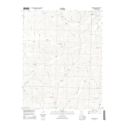
2015 Map of Mansfield NE
USGS Topo · Published 2015About this map
The Woods Fork Gasconade River winds through the hills of Wright County, defining the drainage patterns of a landscape marked by deep hollows and narrow ridges. The settlement of Hartville sits near the confluence where the river meets the Gasconade River, while the small community of Umpire is located to the west. This area is heavily populated with historical family burial grounds, including the Binkley Cemetery, Pea Ridge Cemetery, and Helsley Cemetery, which provide significant data points for genealogists tracking early Ozark families.
Find a feature on this map
84 named features on this map. Tap any name to fly to it.
Don’t see what you’re looking for? This feature index may not catch every label — zoom into the map to look around manually.
Map Details
Editions of this 2015 Mansfield NE Map
This is the sole edition of this map. No revisions or reprints were ever made.
Other maps of this area

1931 · Manes
USGS Topo · 1:48,000

1941 · Manes
USGS Topo · 1:62,500

1943 · Manes
USGS Topo · 1:62,500

1951 · Norwood
USGS Topo · 1:24,000

1951 · Owens
USGS Topo · 1:24,000

1951 · Mansfield NE
USGS Topo · 1:24,000

1951 · Mansfield NW
USGS Topo · 1:24,000
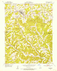
1951 · Mansfield
USGS Topo · 1:24,000
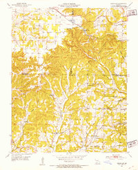
1951 · Cedar Gap
USGS Topo · 1:24,000

1951 · Mountain Grove
USGS Topo · 1:62,500