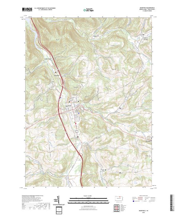
2023 Map of Mansfield
USGS Topo · Published 2023About this map
The Tioga River corridor serves as the primary artery for settlement and transport through this section of Tioga County, with the borough of Mansfield acting as the regional hub. The town is significantly shaped by the campus of the Mansfield University of Pennsylvania, while the surrounding terrain is defined by a series of prominent rises such as Pickle Hill and Oak Hill. The map documents a deeply rooted rural landscape, evidenced by numerous family-named cemeteries including the Whittaker - Jaquish - Knowlton Cem and the Weeks Cem. Small outlying hamlets like Mainesburg and Lawrence Corners are connected to the river valley by winding roads that follow the drainage of Corey Creek and Mill Creek. The landscape transitions from the developed university town to the high elevations of Austin Hill and Hemlock Hill, illustrating the classic Appalachian plateau topography of northern Pennsylvania.
Find a feature on this map
101 named features on this map. Tap any name to fly to it.
Don’t see what you’re looking for? This feature index may not catch every label — zoom into the map to look around manually.
Map Details
Editions of this 2023 Mansfield Map
This is the sole edition of this map. No revisions or reprints were ever made.
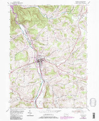
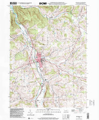
Historical Maps of Mansfield Through Time
3 maps found