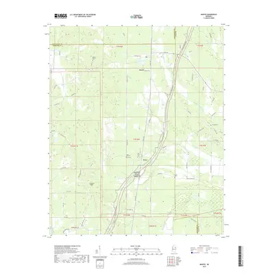
2018 Map of Mantee
USGS Topo · Published 2018About this map
The Natchez Trace Pkwy carves a diagonal path through this portion of Mississippi, serving as a modern corridor through a landscape deeply rooted in rural history. Small communities such as Mantee and Dancy anchor the local road network, where the convergence of Webster, Clay, and Chickasaw counties shapes the regional geography. The map reveals a high density of burial sites and country churches, including Mount Pleasant Cem, Wake Forest Cem, and Pisgah Cem, which are vital for genealogists tracing family lineages in this part of the South.
Find a feature on this map
84 named features on this map. Tap any name to fly to it.
Don’t see what you’re looking for? This feature index may not catch every label — zoom into the map to look around manually.
Map Details
Editions of this 2018 Mantee Map
This is the sole edition of this map. No revisions or reprints were ever made.
Other maps of this area

1953 · West Point
USGS Topo · 1:250,000

1958 · West Point
USGS Topo · 1:250,000

1959 · Van Vleet
USGS Topo · 1:62,500

1959 · Pheba
USGS Topo · 1:62,500

1963 · West Point
USGS Topo · 1:250,000

1972 · Maben
USGS Topo · 1:24,000

1972 · Atlanta
USGS Topo · 1:24,000

1972 · Sapa
USGS Topo · 1:24,000

1972 · Hohenlinden
USGS Topo · 1:24,000

1972 · Mantee
USGS Topo · 1:24,000