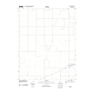
2010 Map of Manter
USGS Topo · Published 2010About this map
Manter sits in the southeastern portion of this Stanton County quadrangle, situated along a southwest-to-northeast road corridor that defines the local transit pattern. The landscape is characterized by the long, winding course of Bear Creek, which meanders across the central and western sections of the map, joined at one point by Beaty Creek. This drainage system provides a natural break in the strictly gridded agricultural survey lines that dominate the high plains of western Kansas.
Find a feature on this map
19 named features on this map. Tap any name to fly to it.
Don’t see what you’re looking for? This feature index may not catch every label — zoom into the map to look around manually.
Map Details
Editions of this 2010 Manter Map
This is the sole edition of this map. No revisions or reprints were ever made.
Other maps of this area

1891 · Albany
USGS Topo · 1:125,000

1892 · Vilas
USGS Topo · 1:125,000

1893 · Albany
USGS Topo · 1:125,000

1900 · Syracuse
USGS Topo · 1:125,000

1920 · Syracuse
USGS Topo · 1:125,000

1955 · La Junta
USGS Topo · 1:250,000

1955 · Dodge City
USGS Topo · 1:250,000

1958 · La Junta
USGS Topo · 1:250,000

1958 · Dodge City
USGS Topo · 1:250,000

1959 · Dodge City
USGS Topo · 1:250,000