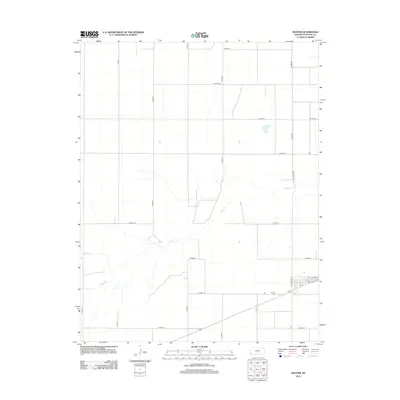
2012 Map of Manter
USGS Topo · Published 2012About this map
Manter sits at the intersection of a rigid agricultural grid and the seasonal drainage of Bear Ck, which winds through the western and central portions of this High Plains landscape. The town center is concentrated in the southeast corner of the map, anchored by a local Po and defined by streets like 5th Ave. Just west of the settlement, the Manter Cem serves as a key site for genealogical research, marking the community's presence since the early 20th century. The surrounding terrain is dominated by a systematic network of section roads, such as S Manter Grade and W Road 17, reflecting the large-scale ranching and farming operations of Stanton County. This 2012 survey shows the persistent layout of a small Kansas town and its relationship with the vast open lands of the western part of the state.
Find a feature on this map
25 named features on this map. Tap any name to fly to it.
Don’t see what you’re looking for? This feature index may not catch every label — zoom into the map to look around manually.
Map Details
Editions of this 2012 Manter Map
This is the sole edition of this map. No revisions or reprints were ever made.
Other maps of this area

1891 · Albany
USGS Topo · 1:125,000

1892 · Vilas
USGS Topo · 1:125,000

1893 · Albany
USGS Topo · 1:125,000

1900 · Syracuse
USGS Topo · 1:125,000

1920 · Syracuse
USGS Topo · 1:125,000

1955 · La Junta
USGS Topo · 1:250,000

1955 · Dodge City
USGS Topo · 1:250,000

1958 · La Junta
USGS Topo · 1:250,000

1958 · Dodge City
USGS Topo · 1:250,000

1959 · Dodge City
USGS Topo · 1:250,000