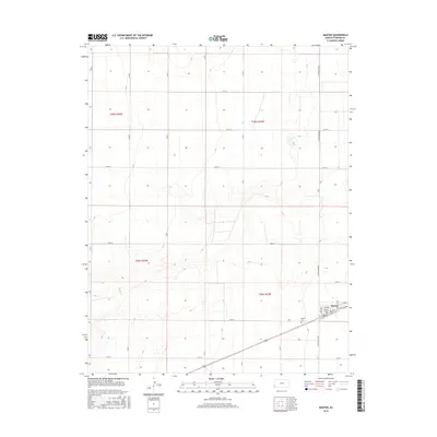
2015 Map of Manter
USGS Topo · Published 2015About this map
Manter stands at the intersection of a rigid agricultural grid and the wandering path of Bear Cr in this Stanton County survey. The town site is meticulously detailed with its primary thoroughfares, including Madison St, 1st Ave, and 5th Ave, showing a concentrated pocket of development surrounded by expansive section lines. South of the main settlement lies the Manter Cem, a significant landmark for those researching family history in this western Kansas landscape. The terrain is defined by the contrast between the linear precision of roads like N Manter Grade and the natural drainage patterns of the creek, reflecting a region deeply integrated into the Public Land Survey System of the Great Plains.
Find a feature on this map
32 named features on this map. Tap any name to fly to it.
Don’t see what you’re looking for? This feature index may not catch every label — zoom into the map to look around manually.
Map Details
Editions of this 2015 Manter Map
This is the sole edition of this map. No revisions or reprints were ever made.
Other maps of this area

1891 · Albany
USGS Topo · 1:125,000

1892 · Vilas
USGS Topo · 1:125,000

1893 · Albany
USGS Topo · 1:125,000

1900 · Syracuse
USGS Topo · 1:125,000

1920 · Syracuse
USGS Topo · 1:125,000

1955 · La Junta
USGS Topo · 1:250,000

1955 · Dodge City
USGS Topo · 1:250,000

1958 · La Junta
USGS Topo · 1:250,000

1958 · Dodge City
USGS Topo · 1:250,000

1959 · Dodge City
USGS Topo · 1:250,000