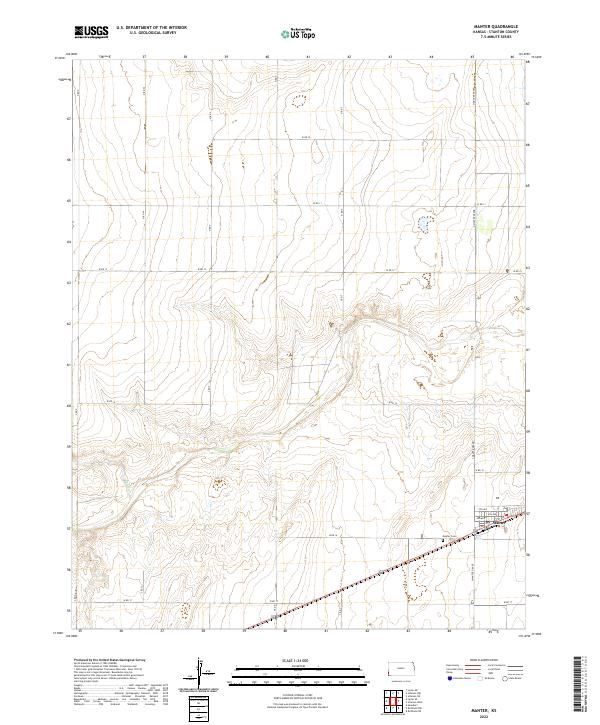
2022 Map of Manter
USGS Topo · Published 2022About this map
Manter anchors the southeastern corner of this High Plains landscape, where the residential street grid of 1st Ave through 5th Ave meets the transit corridor of Highway 160. The surrounding terrain in Stanton County is defined by the ephemeral path of Bear Creek, which winds across the central section of the map, cutting through the section lines of the Public Land Survey System. This rural expanse is organized by a rigid network of section roads, including N Manter Grade and S Manter Grade, reflecting the agricultural layout of western Kansas. Outside the town limits, the Manter Cem sits as a lonely landmark along W Rd 16, serving as a vital point of reference for genealogists and local historians tracing the families of this prairie community.
Find a feature on this map
32 named features on this map. Tap any name to fly to it.
Don’t see what you’re looking for? This feature index may not catch every label — zoom into the map to look around manually.
Map Details
Editions of this 2022 Manter Map
This is the sole edition of this map. No revisions or reprints were ever made.
Other maps of this area

1891 · Albany
USGS Topo · 1:125,000

1892 · Vilas
USGS Topo · 1:125,000

1893 · Albany
USGS Topo · 1:125,000

1900 · Syracuse
USGS Topo · 1:125,000

1920 · Syracuse
USGS Topo · 1:125,000

1955 · La Junta
USGS Topo · 1:250,000

1955 · Dodge City
USGS Topo · 1:250,000

1958 · La Junta
USGS Topo · 1:250,000

1958 · Dodge City
USGS Topo · 1:250,000

1959 · Dodge City
USGS Topo · 1:250,000