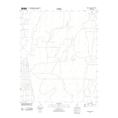
2011 Map of Manuel Seep
USGS Topo · Published 2011About this map
Martinez Draw carves a seasonal path through this arid portion of Navajo County, reflecting a landscape defined by its scarce water resources. The distribution of features like Manuel Seep, Stink Seep Number One, and Stink Seep Number Two highlights the critical importance of natural water sources for ranching and survival in the high desert. Man-made infrastructure is centered on livestock management, with various stock ponds such as Broken Tank, Quema Tank, and Section Four Tank scattered across the township. The road network, including Hardy Ranch Rd and Gollittar Ranch Rd, provides access to dispersed rural properties and ranch holdings, showing how settlement has adapted to the wide-open terrain of eastern Arizona in the early 21st century.
Find a feature on this map
56 named features on this map. Tap any name to fly to it.
Don’t see what you’re looking for? This feature index may not catch every label — zoom into the map to look around manually.
Map Details
Editions of this 2011 Manuel Seep Map
This is the sole edition of this map. No revisions or reprints were ever made.
Other maps of this area

1886 · St Johns
USGS Topo · 1:250,000

1892 · St Johns
USGS Topo · 1:250,000

1954 · Saint Johns
USGS Topo · 1:250,000

1955 · Adamana 3 NE
USGS Topo · 1:24,000

1955 · Adamana 4 SW
USGS Topo · 1:24,000

1955 · Adamana 4 NW
USGS Topo · 1:24,000

1955 · Adamana 3 SE
USGS Topo · 1:24,000

1955 · Hunt
USGS Topo · 1:62,500

1957 · Saint Johns
USGS Topo · 1:250,000

1958 · Saint Johns
USGS Topo · 1:250,000