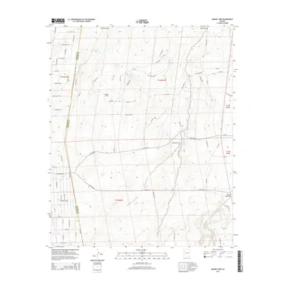
2014 Map of Manuel Seep
USGS Topo · Published 2014About this map
Manuel Seep and its surrounding desert hydrology define this high-plateau landscape on the border of Navajo and Apache counties. The area is characterized by a complex network of seasonal drainage features and essential water catchments, including Quema Tank, Sand Tank, and Broken Tank. These watering points were historically vital for cattle ranching in this arid environment, a legacy reflected in the numerous named tracks like Goliar Ranch Rd and Hoss Ranch Rd.
Find a feature on this map
80 named features on this map. Tap any name to fly to it.
Don’t see what you’re looking for? This feature index may not catch every label — zoom into the map to look around manually.
Map Details
Editions of this 2014 Manuel Seep Map
This is the sole edition of this map. No revisions or reprints were ever made.
Other maps of this area

1886 · St Johns
USGS Topo · 1:250,000

1892 · St Johns
USGS Topo · 1:250,000

1954 · Saint Johns
USGS Topo · 1:250,000

1955 · Adamana 3 NE
USGS Topo · 1:24,000

1955 · Adamana 4 SW
USGS Topo · 1:24,000

1955 · Adamana 4 NW
USGS Topo · 1:24,000

1955 · Adamana 3 SE
USGS Topo · 1:24,000

1955 · Hunt
USGS Topo · 1:62,500

1957 · Saint Johns
USGS Topo · 1:250,000

1958 · Saint Johns
USGS Topo · 1:250,000