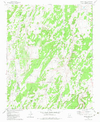
1982 Map of Manuel Seep
USGS Topo · Published 1982About this map
Water management dominates this high-desert landscape on the border of Apache and Navajo counties, as seen in this 1982 survey. The terrain is defined by a series of north-running washes, most notably Benzes Draw, Sandoval Draw, and Cheney Draw, which cut through the arid plains. A complex network of artificial and natural water sources supports the region, including the namesake Manuel Seep and the curiously named Stink Seep No 1 and Stink Seep No 2.
Find a feature on this map
22 named features on this map. Tap any name to fly to it.
Don’t see what you’re looking for? This feature index may not catch every label — zoom into the map to look around manually.
Map Details
Editions of this 1982 Manuel Seep Map
2 editions found
Other maps of this area

1886 · St Johns
USGS Topo · 1:250,000

1892 · St Johns
USGS Topo · 1:250,000

1954 · Saint Johns
USGS Topo · 1:250,000

1955 · Adamana 3 NE
USGS Topo · 1:24,000

1955 · Adamana 4 SW
USGS Topo · 1:24,000

1955 · Adamana 4 NW
USGS Topo · 1:24,000

1955 · Adamana 3 SE
USGS Topo · 1:24,000

1955 · Hunt
USGS Topo · 1:62,500

1957 · Saint Johns
USGS Topo · 1:250,000

1958 · Saint Johns
USGS Topo · 1:250,000