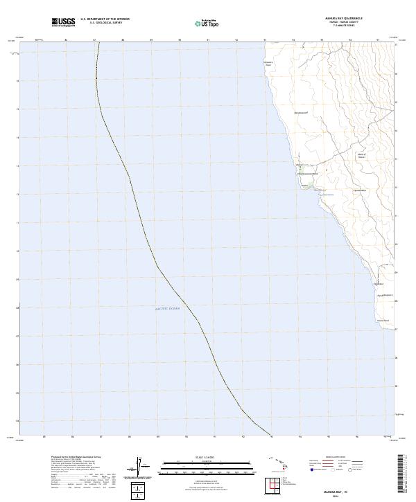
2024 Map of Manuka Bay
USGS Topo · Published 2024About this map
The southwest coast of the Island of Hawai‘i is defined here by its volcanic geology and immediate contact with the Pacific Ocean. This coastal stretch features several named kipukas—islands of older land or vegetation surrounded by more recent lava flows—including Kipukakaulanamauna, Kipukamālua, and Kipukakaupua‘a. These geological features tell the story of the island's layered growth over time. Coastal landmarks such as Kānewa‘a Point and Kaunā Point bookend this relatively unpopulated reach, where the shoreline is punctuated by small inlets like Manuka Bay. Other named locations such as Hanakeaumoe, ‘Āhuloa, and Kamoi reflect the traditional naming conventions of this volcanic landscape, providing a contemporary view of this remote section of the Kona coastline.
Find a feature on this map
13 named features on this map. Tap any name to fly to it.
Don’t see what you’re looking for? This feature index may not catch every label — zoom into the map to look around manually.
Map Details
Editions of this 2024 Manuka Bay Map
This is the sole edition of this map. No revisions or reprints were ever made.
Other maps of this area

1928 · Hoopuloa
USGS Topo · 1:62,500

1954 · Hawaii South
USGS Topo · 1:250,000

1959 · Hawaii South
USGS Topo · 1:250,000

1961 · Hawaii South
USGS Topo · 1:250,000

1962 · Hawaii South
USGS Topo · 1:250,000

1962 · Milolii
USGS Topo · 1:24,000
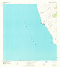
1962 · Manuka Bay
USGS Topo · 1:24,000

1962 · Pohue Bay
USGS Topo · 1:24,000

1962 · Papa
USGS Topo · 1:24,000

1975 · Hawaii
USGS Topo · 1:250,000