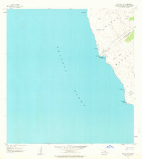
1962 Map of Manuka Bay
USGS Topo · Published 1964About this map
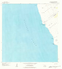
Kipuka Kaulanamauna and other vegetation islands punctuate the volcanic landscape along this stretch of the South Kona and Kau District border. The shoreline is defined by dramatic points such as Kanewaa Pt and Kauna Pt, where the Pacific Ocean meets a coastline marked by ancient and modern history. Archaeological and cultural sites are present, including a Heiau near Manuka Bay and another at the southern point near the Light and Coast Guard Reservation.
Find a feature on this map
25 named features on this map. Tap any name to fly to it.
Don’t see what you’re looking for? This feature index may not catch every label — zoom into the map to look around manually.
Map Details
Editions of this 1962 Manuka Bay Map
2 editions found
Other maps of this area

1928 · Hoopuloa
USGS Topo · 1:62,500

1954 · Hawaii South
USGS Topo · 1:250,000

1959 · Hawaii South
USGS Topo · 1:250,000

1961 · Hawaii South
USGS Topo · 1:250,000

1962 · Hawaii South
USGS Topo · 1:250,000

1962 · Milolii
USGS Topo · 1:24,000

1962 · Pohue Bay
USGS Topo · 1:24,000

1962 · Papa
USGS Topo · 1:24,000

1975 · Hawaii
USGS Topo · 1:250,000
1980 · Hawaii County Sheet 3
USGS Topo · 1:100,000