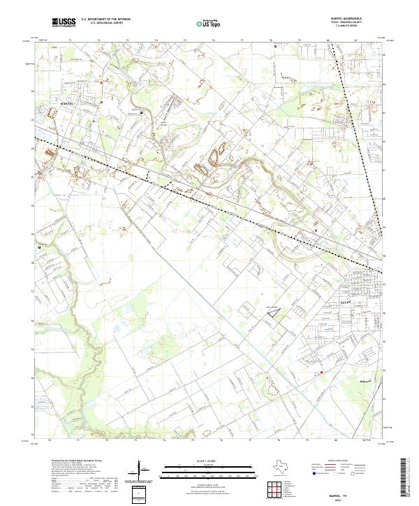
2022 Map of Manvel
USGS Topo · Published 2022About this map
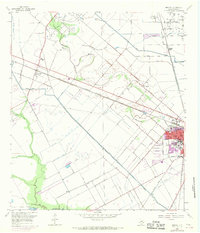
Manvel and Alvin serve as the primary residential and commercial hubs in this portion of Brazoria County, where the coastal prairie is deeply etched by a network of slow-moving waterways. The winding course of Mustang Bayou and Chocolate Bayou dictates the local geography, influencing the placement of early homesteads and modern developments alike. Small aviation facilities like Wolfe Air Park and Alvin Airpark punctuate the landscape, reflecting the region's long-standing connection to light aircraft and local transport. For those tracing family histories, Manvel Cem and Booth Cem offer specific points of interest amidst the suburban expansion. The southern reaches of the map show a more engineered water system, including the Briscoe Canal, which highlights the historical importance of irrigation and water management in this low-lying Texas landscape.
Find a feature on this map
203 named features on this map. Tap any name to fly to it.
Don’t see what you’re looking for? This feature index may not catch every label — zoom into the map to look around manually.
Map Details
Editions of this 2022 Manvel Map
This is the sole edition of this map. No revisions or reprints were ever made.
Historical Maps of Manvel Through Time
3 maps found