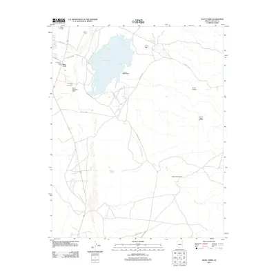
2011 Map of Many Farms
USGS Topo · Published 2011About this map
Many Farms sits at the western edge of this High Plateau landscape, centered around the life-sustaining waters of Many Farms Lake. This 2011 survey illustrates a region defined by its hydrography and traditional Navajo (Diné) infrastructure, including the Many Farms Trading Post and the nearby Many Farms Lake Campground. The surrounding desert is deeply incised by a series of dramatic landforms such as Tezinie Canyon, Jimson Weed Canyon, and Sheep Dip Canyon.
Find a feature on this map
20 named features on this map. Tap any name to fly to it.
Don’t see what you’re looking for? This feature index may not catch every label — zoom into the map to look around manually.
Map Details
Editions of this 2011 Many Farms Map
This is the sole edition of this map. No revisions or reprints were ever made.
Other maps of this area

1892 · Canyon De Chelly
USGS Topo · 1:250,000

1954 · Shiprock
USGS Topo · 1:250,000

1955 · Chinle 4 NE
USGS Topo · 1:24,000

1955 · Sonsala Butte 2 SW
USGS Topo · 1:24,000

1955 · Sonsala Butte 2 NW
USGS Topo · 1:24,000
1955 · Sonsala Butte 3 NW
USGS Topo · 1:24,000
1955 · Canyon Del Muerto
USGS Topo · 1:62,500
1955 · Yellowstone Canyon
USGS Topo · 1:62,500

1958 · Shiprock
USGS Topo · 1:250,000

1959 · Shiprock
USGS Topo · 1:250,000
Featured Places
- Chinle Agency, AZ
- Many Farms, Chinle Agency
- Tʼiisyáázh Łání, Chinle Agency
- Apache County, AZ
- United States