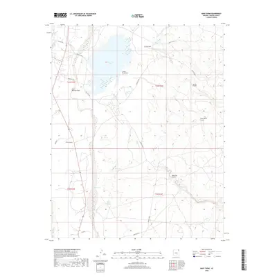
2018 Map of Many Farms
USGS Topo · Published 2018About this map
Many Farms Lake dominates the northern landscape of this Apache County region, where the hydrology of the Chinle Valley defines both the terrain and the settlement patterns. This desert environment is etched by an intricate network of drainage systems, including Tezinie Wash, Jimson Weed Wash, and the prominent Chinle Wash. These ephemeral watercourses are punctuated by essential water sources like Many Farms Spring, Sand Cone Springs, and Valley Store Spring, which have historically sustained life in this arid expanse. The topography shifts from the open valley floor to the carved depths of Tezinie Canyon and Sheep Dip Canyon in the east. Local transportation relies on a web of routes such as Indian Rte 8086 and Indian Rte 8084, providing access between the high mesas and the watered lowlands.
Find a feature on this map
25 named features on this map. Tap any name to fly to it.
Don’t see what you’re looking for? This feature index may not catch every label — zoom into the map to look around manually.
Map Details
Editions of this 2018 Many Farms Map
This is the sole edition of this map. No revisions or reprints were ever made.
Other maps of this area

1892 · Canyon De Chelly
USGS Topo · 1:250,000

1954 · Shiprock
USGS Topo · 1:250,000

1955 · Chinle 4 NE
USGS Topo · 1:24,000

1955 · Sonsala Butte 2 SW
USGS Topo · 1:24,000

1955 · Sonsala Butte 2 NW
USGS Topo · 1:24,000
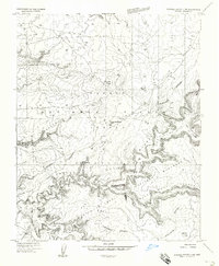
1955 · Sonsala Butte 3 NW
USGS Topo · 1:24,000
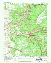
1955 · Canyon Del Muerto
USGS Topo · 1:62,500
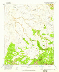
1955 · Yellowstone Canyon
USGS Topo · 1:62,500

1958 · Shiprock
USGS Topo · 1:250,000

1959 · Shiprock
USGS Topo · 1:250,000
Featured Places
- Chinle Agency, AZ
- Many Farms, Chinle Agency
- Tʼiisyáázh Łání, Chinle Agency
- Apache County, AZ
- United States