Loading...
Loading map...2021 Map of Many Farms
USGS Topo · Published 2021About this map
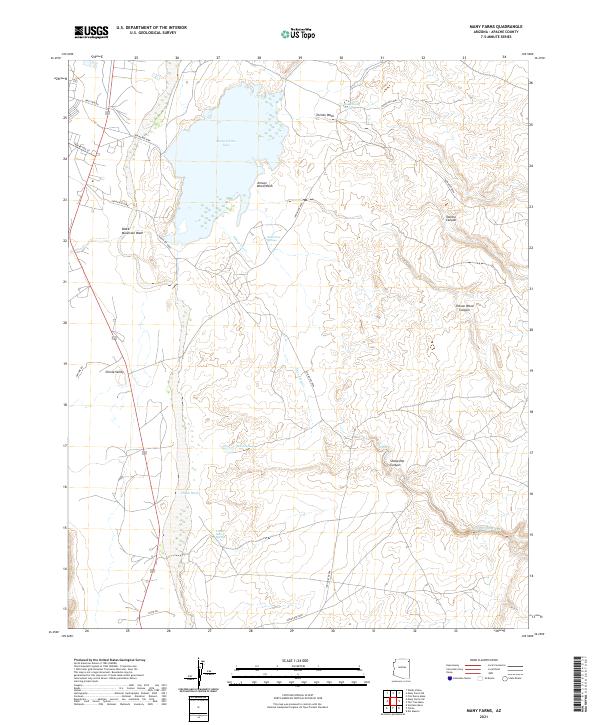
Many Farms Lake dominates the northern landscape of this Apache County region, serving as a vital water source for the surrounding Chinle Valley. The desert hydrology is a focal point of the area, defined by a complex network of ephemeral waterways and perennial sources including Chinle Wash, Tezinie Wash, and Sheep Dip Creek. These drainage systems have carved significant geographical markers into the plateau, most notably Tezinie Canyon and Jimson Weed Canyon to the east.
Find a feature on this map
25 named features on this map. Tap any name to fly to it.
Don’t see what you’re looking for? This feature index may not catch every label — zoom into the map to look around manually.
Map Details
Date Portrayed2021
Date Published2021
PublisherU.S. Geological Survey
Map TypeTopographic
Scale1:24000
Physical Dimensions24 x 29 inches
Editions of this 2021 Many Farms Map
This is the sole edition of this map. No revisions or reprints were ever made.
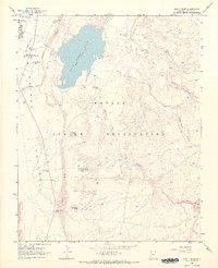
Historical Maps of Tʼiisyáázh Łání Through Time
Featured Locations
- United States
- Apache County, AZ
- Chinle Agency, AZ
- Tʼiisyáázh Łání, Chinle Agency
- Many Farms, Chinle Agency
Source Details
SourceU.S. Geological Survey
CopyrightPublic Domain