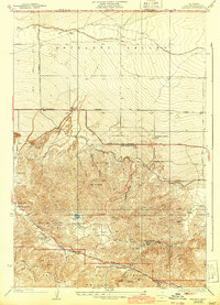
1938 Map of Manzana
USGS Topo · Published 1943About this map
Antelope Valley transitions into the high country of the Angeles National Forest in this 1941 revision of the local landscape. The northern plains are defined by an early agricultural grid including Neenach Ranch and Pecks Ranch, while the south is dominated by the complex geology of the San Andreas Rift Zone. Water management is central to the area's development, evidenced by the path of the Los Angeles Aqueduct cutting across the desert floor. In the more secluded canyons to the south, land use shifts toward mining and recreation. Prospectors worked the Big Chief Mine and Rivera Mines, while the Tweedy Lake Club and Drew Lodge provided mountain retreats. The map also captures essential local infrastructure like the Pine Canyon School and Pine Store, serving the dispersed ranching community at the edge of the mountains.
Find a feature on this map
41 named features on this map. Tap any name to fly to it.
Don’t see what you’re looking for? This feature index may not catch every label — zoom into the map to look around manually.
Map Details
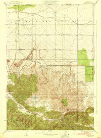
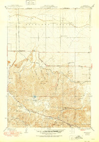
Editions of this 1938 Manzana Map
3 editions found
Other maps of this area

1903 · Tejon
USGS Topo · 1:125,000

1915 · Elizabeth Lake
USGS Topo · 1:125,000

1917 · Elizabeth Lake
USGS Topo · 1:125,000

1931 · Warm Spring
USGS Topo · 1:24,000

1931 · Redrock Mtn
USGS Topo · 1:24,000

1932 · Hughes Lake
USGS Topo · 1:24,000

1932 · Fairmont
USGS Topo · 1:24,000

1932 · Neenach
USGS Topo · 1:24,000

1933 · Manzana
USGS Topo · 1:24,000
1936 · Warm Spring
USGS Topo · 1:24,000