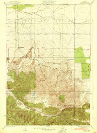
1938 Map of Manzana
USGS Topo · Published 1938About this map
The northern edge of Antelope Valley and the northern slopes of Liebre Mountain are documented in this 1933 survey, showing a landscape defined by ranching and vital water infrastructure. The Los Angeles Aqueduct cuts a prominent path across the northwestern plains, a symbol of the engineered water systems essential to the region's development. Local life is anchored by named homesteads and social centers such as Pecks Ranch, Neenach Ranch, and the Tweedy Lake Club near Tweedy Lake.
Find a feature on this map
38 named features on this map. Tap any name to fly to it.
Don’t see what you’re looking for? This feature index may not catch every label — zoom into the map to look around manually.
Map Details
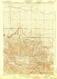
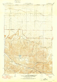
Editions of this 1938 Manzana Map
3 editions found
Other maps of this area

1903 · Tejon
USGS Topo · 1:125,000

1915 · Elizabeth Lake
USGS Topo · 1:125,000

1917 · Elizabeth Lake
USGS Topo · 1:125,000

1931 · Warm Spring
USGS Topo · 1:24,000

1931 · Redrock Mtn
USGS Topo · 1:24,000

1932 · Hughes Lake
USGS Topo · 1:24,000

1932 · Fairmont
USGS Topo · 1:24,000

1932 · Neenach
USGS Topo · 1:24,000

1933 · Manzana
USGS Topo · 1:24,000
1936 · Warm Spring
USGS Topo · 1:24,000