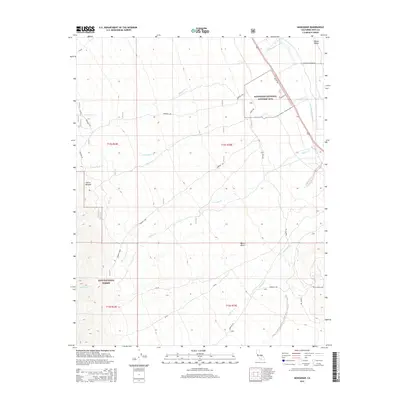
2015 Map of Manzanar
USGS Topo · Published 2015About this map
Manzanar National Historic Site occupies a significant portion of this landscape, situated between the high peaks of the Sierra Nevada and the floor of the Owens Valley. The map details the water infrastructure and drainage systems essential to this arid environment, including the Los Angeles Aqueduct and numerous mountain-fed streams like Shepherd Cr, Bairs Cr, and George Cr that flow eastward toward the valley floor.
Find a feature on this map
21 named features on this map. Tap any name to fly to it.
Don’t see what you’re looking for? This feature index may not catch every label — zoom into the map to look around manually.
Map Details
Editions of this 2015 Manzanar Map
This is the sole edition of this map. No revisions or reprints were ever made.
Other maps of this area

1907 · Mt. Whitney
USGS Topo · 1:125,000

1919 · Mt. Whitney
USGS Topo · 1:125,000

1937 · Mt. Whitney
USGS Topo · 1:125,000

1948 · Fresno
USGS Topo · 1:250,000

1951 · Independence
USGS Topo · 1:62,500

1953 · Mt. Pinchot
USGS Topo · 1:62,500

1955 · Fresno
USGS Topo · 1:250,000

1956 · Fresno
USGS Topo · 1:250,000

1956 · Mount Whitney
USGS Topo · 1:62,500

1958 · Fresno
USGS Topo · 1:250,000