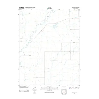
2012 Map of Maple City
USGS Topo · Published 2012About this map
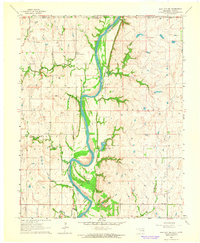
Maple City sits at the heart of this southeastern Cowley County landscape, a region defined by the intersection of prairie agriculture and the local petroleum industry. The presence of the Albright Oil Field in the northwest and the Rahn Oil Field near Vinton highlights the long-standing extraction history of the area. Waterways like Grouse Cr, Silver Cr, and Little Beaver Cr carve through the terrain, draining toward the central Cowley County State Lake. This survey captures the rural infrastructure of the early 21st century, from the quiet grounds of the Maple City Cem to the dispersed settlements at Cameron and Vinton. The grid of country roads, including Grouse Creek Rd and 211th Rd, connects these remote outposts, providing a clear record of the area's physical and cultural geography.
Find a feature on this map
34 named features on this map. Tap any name to fly to it.
Don’t see what you’re looking for? This feature index may not catch every label — zoom into the map to look around manually.
Map Details
Editions of this 2012 Maple City Map
This is the sole edition of this map. No revisions or reprints were ever made.
Other maps of this area
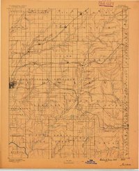
1889 · Burden
USGS Topo · 1:125,000
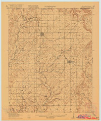
1916 · Foraker
USGS Topo · 1:62,500
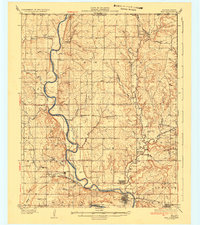
1935 · Kaw
USGS Topo · 1:62,500
1955 · Wichita
USGS Topo · 1:250,000

1955 · Enid
USGS Topo · 1:250,000

1958 · Enid
USGS Topo · 1:250,000
1958 · Wichita
USGS Topo · 1:250,000
1962 · Dexter SW
USGS Topo · 1:24,000
1962 · Dexter
USGS Topo · 1:24,000
1963 · Kaw City NW
USGS Topo · 1:24,000