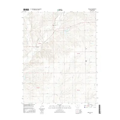
2015 Map of Maple City
USGS Topo · Published 2015About this map
Maple City and the surrounding rangeland of southern Cowley County are documented in this topographic survey, showing a landscape defined by deeply incised creek valleys and upland plateaus. The settlement of Maple City serves as a local hub, with the Maple City Cem located to the northwest near Panther Cr. The terrain is drained by a complex network of waterways, most notably Grouse Creek, which winds through the western portion of the map, and Wildcat Cr in the northeast.
Find a feature on this map
34 named features on this map. Tap any name to fly to it.
Don’t see what you’re looking for? This feature index may not catch every label — zoom into the map to look around manually.
Map Details
Editions of this 2015 Maple City Map
This is the sole edition of this map. No revisions or reprints were ever made.
Other maps of this area

1889 · Burden
USGS Topo · 1:125,000

1916 · Foraker
USGS Topo · 1:62,500

1935 · Kaw
USGS Topo · 1:62,500

1955 · Wichita
USGS Topo · 1:250,000

1955 · Enid
USGS Topo · 1:250,000

1958 · Enid
USGS Topo · 1:250,000

1958 · Wichita
USGS Topo · 1:250,000

1962 · Dexter SW
USGS Topo · 1:24,000

1962 · Dexter
USGS Topo · 1:24,000

1963 · Kaw City NW
USGS Topo · 1:24,000