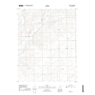
2018 Map of Maple City
USGS Topo · Published 2018About this map
Maple City and the surrounding township lands of southeastern Cowley County define this landscape, where the prairie begins its descent into numerous small stream valleys. This 2018 survey documents a region structured by a dense network of sectional roads, including Grouse Creek Rd and Co Rd 6, which connect small rural hubs like Vinton and Cameron. The geography is notably shaped by the drainage patterns of Grouse Creek and its many tributaries, such as Silver Creek and Otter Creek, which carve winding paths through the terrain.
Find a feature on this map
31 named features on this map. Tap any name to fly to it.
Don’t see what you’re looking for? This feature index may not catch every label — zoom into the map to look around manually.
Map Details
Editions of this 2018 Maple City Map
This is the sole edition of this map. No revisions or reprints were ever made.
Other maps of this area
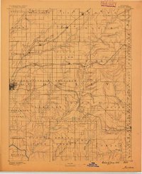
1889 · Burden
USGS Topo · 1:125,000
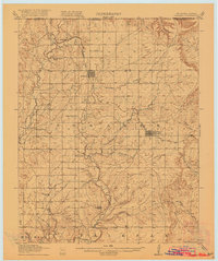
1916 · Foraker
USGS Topo · 1:62,500
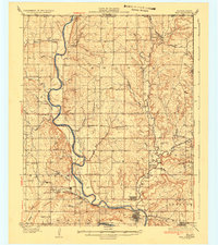
1935 · Kaw
USGS Topo · 1:62,500

1955 · Wichita
USGS Topo · 1:250,000

1955 · Enid
USGS Topo · 1:250,000

1958 · Enid
USGS Topo · 1:250,000

1958 · Wichita
USGS Topo · 1:250,000
1962 · Dexter SW
USGS Topo · 1:24,000
1962 · Dexter
USGS Topo · 1:24,000
1963 · Kaw City NW
USGS Topo · 1:24,000