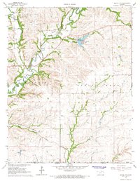
1964 Map of Maple City
USGS Topo · Published 1966About this map
Maple City and the surrounding borderlands of Cowley County sit at the crossroads of industrial extraction and prairie preservation in the mid-1960s. The landscape is defined by the Albright Oil Field to the north and numerous quarries following the limestone bluffs above Grouse Creek. Transportation is anchored by the Missouri Pacific railroad, which snakes through the river valleys passing the small settlements of Vinton and Cameron.
Find a feature on this map
24 named features on this map. Tap any name to fly to it.
Don’t see what you’re looking for? This feature index may not catch every label — zoom into the map to look around manually.
Map Details
Editions of this 1964 Maple City Map
This is the sole edition of this map. No revisions or reprints were ever made.
Other maps of this area

1889 · Burden
USGS Topo · 1:125,000

1916 · Foraker
USGS Topo · 1:62,500

1935 · Kaw
USGS Topo · 1:62,500

1955 · Wichita
USGS Topo · 1:250,000

1955 · Enid
USGS Topo · 1:250,000

1958 · Enid
USGS Topo · 1:250,000

1958 · Wichita
USGS Topo · 1:250,000

1962 · Dexter SW
USGS Topo · 1:24,000

1962 · Dexter
USGS Topo · 1:24,000

1963 · Kaw City NW
USGS Topo · 1:24,000