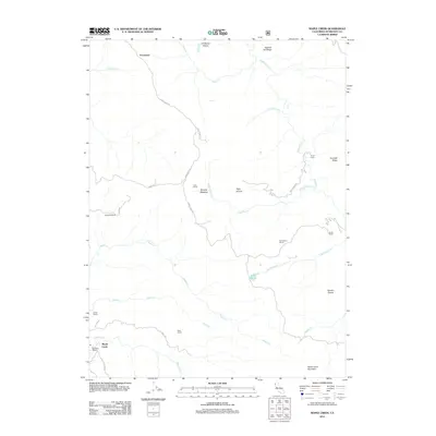
2012 Map of Maple Creek
USGS Topo · Published 2012About this map
Fernwood and the eponymous settlement of Maple Creek anchor this study of the Humboldt County back country, where the landscape is defined by its working ranches and high ridges. The drainage of Maple Cr and Redwood Cr carves through the terrain, supporting a network of long-established family landholdings including Russ Ranch, Hemphill Ranch, and Gunderson Ranch. The presence of Ayres Cabin and Beckstine Ranch highlights the scattered nature of habitation in this area, while natural landmarks like Lake Prairie and Murphy Meadow suggest the location of high-elevation grazing grounds.
Find a feature on this map
35 named features on this map. Tap any name to fly to it.
Don’t see what you’re looking for? This feature index may not catch every label — zoom into the map to look around manually.
Map Details
Editions of this 2012 Maple Creek Map
This is the sole edition of this map. No revisions or reprints were ever made.
Other maps of this area

1914 · Pilot Creek
USGS Topo · 1:62,500

1915 · Big Bar and Vicinity
USGS Topo · 1:250,000

1922 · Korbel
USGS Topo · 1:62,500

1922 · China Flat
USGS Topo · 1:62,500

1922 · Kneeland
USGS Topo · 1:62,500

1945 · Blue Lake
USGS Topo · 1:62,500

1950 · Iaqua Buttes
USGS Topo · 1:62,500

1951 · Pilot Creek
USGS Topo · 1:62,500

1951 · Blue Lake
USGS Topo · 1:62,500

1952 · Willow Creek
USGS Topo · 1:62,500