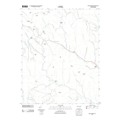
2010 Map of Maple Springs
USGS Topo · Published 2010About this map
Stony Fork and Harley sit along the winding watercourses of the Blue Ridge foothills, where the South Prong Lewis Fork and Stony Fork dominate the drainage patterns. This high-country landscape is defined by the proximity of the Blue Ridge Pkwy, which traces the northwestern ridges and provides access to scenic vistas like the Thomkins Knob Overlook and Lewis Fork Overlook. The terrain is characterized by numerous named peaks and ridges, including Tomkins Knob, Fire Scale Mountain, and Pattons Ridge, suggesting a history of lookout points and timber management.
Find a feature on this map
76 named features on this map. Tap any name to fly to it.
Don’t see what you’re looking for? This feature index may not catch every label — zoom into the map to look around manually.
Map Details
Editions of this 2010 Maple Springs Map
This is the sole edition of this map. No revisions or reprints were ever made.
Other maps of this area

1889 · Wilkesboro
USGS Topo · 1:125,000

1891 · Wilkesboro
USGS Topo · 1:125,000

1893 · Cranberry
USGS Topo · 1:125,000

1895 · Cranberry
USGS Topo · 1:125,000

1899 · Cranberry
USGS Topo · 1:125,000

1902 · Cranberry
USGS Topo · 1:125,000

1936 · Blowing Rock
USGS Topo · 1:48,000

1942 · Blowing Rock
USGS Topo · 1:62,500

1953 · Winston-Salem
USGS Topo · 1:250,000

1955 · Winston-Salem
USGS Topo · 1:250,000