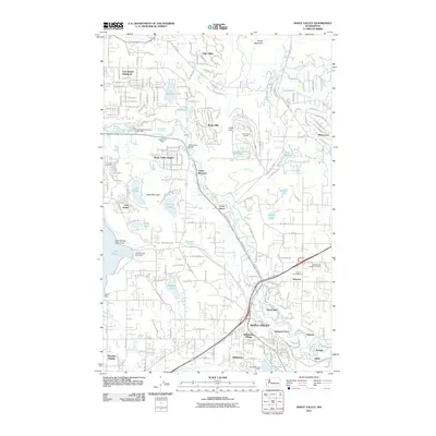
2011 Map of Maple Valley
USGS Topo · Published 2011About this map
The Cedar River carves through this landscape of the Cascade foothills, defining a corridor of early coal mining and established suburban residential growth. Industry and nature exist side-by-side, evidenced by the Indian Coal Mine and Fire King Coal Mine located near Maple Valley Heights and Cedar Mountain. The southern portion of the map is anchored by the Maple Valley town center, surrounded by tight-knit communities like Dorre Don, Wilderness Village, and Orchard Grove.
Find a feature on this map
49 named features on this map. Tap any name to fly to it.
Don’t see what you’re looking for? This feature index may not catch every label — zoom into the map to look around manually.
Map Details
Editions of this 2011 Maple Valley Map
This is the sole edition of this map. No revisions or reprints were ever made.
Other maps of this area

1895 · Snohomish
USGS Topo · 1:125,000

1897 · Tacoma
USGS Topo · 1:125,000

1897 · Seattle
USGS Topo · 1:125,000

1900 · Tacoma
USGS Topo · 1:125,000

1913 · Cedar Lake
USGS Topo · 1:125,000

1921 · Sultan
USGS Topo · 1:125,000

1923 · Sultan
USGS Topo · 1:125,000

1949 · Maple Valley
USGS Topo · 1:24,000

1949 · Black Diamond
USGS Topo · 1:24,000

1949 · Renton
USGS Topo · 1:24,000