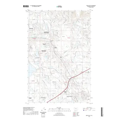
2020 Map of Maple Valley
USGS Topo · Published 2020About this map
Cedar River flows northwest through this King County landscape, carving a valley that separates Squak Mtn in the north from the residential and recreation areas to the south. The transition from suburban Renton to the rural pockets of Maple Valley is evident in the network of local roads like SE Jones Rd and SE May Valley Rd. This modern survey documents the established suburban growth of East Renton Highlands and Maple Valley Heights, alongside the numerous small water bodies that define the local geography, including Shadow Lake, Lake Desire, and Peterson Lake. For genealogists and local historians, the Maple Valley-Hobart Cem is a significant landmark near the intersection of the Cedar River Trail. The map shows how the modern landscape of Wilderness Village and Covington has integrated with the natural features of the Cedar Mtn foothills.
Find a feature on this map
113 named features on this map. Tap any name to fly to it.
Don’t see what you’re looking for? This feature index may not catch every label — zoom into the map to look around manually.
Map Details
Editions of this 2020 Maple Valley Map
This is the sole edition of this map. No revisions or reprints were ever made.
Other maps of this area

1895 · Snohomish
USGS Topo · 1:125,000

1897 · Tacoma
USGS Topo · 1:125,000

1897 · Seattle
USGS Topo · 1:125,000

1900 · Tacoma
USGS Topo · 1:125,000

1913 · Cedar Lake
USGS Topo · 1:125,000

1921 · Sultan
USGS Topo · 1:125,000

1923 · Sultan
USGS Topo · 1:125,000

1949 · Maple Valley
USGS Topo · 1:24,000

1949 · Black Diamond
USGS Topo · 1:24,000

1949 · Renton
USGS Topo · 1:24,000