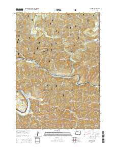
2014 Map of Mapleton
USGS Topo · Published 2014About this map
The Siuslaw River winds through this coastal mountain landscape, anchoring a series of small riverfront settlements in Lane County. Several historic communities follow the river and highway corridors, including Mapleton, Swisshome, Tide, and Rainrock. The terrain is characterized by steep ridges and deep drainages, with Bald Mtn and Bailey Ridge rising above the numerous creeks that feed into the Siuslaw. The region's geography is heavily shaped by the Siuslaw National Forest, which covers much of the quadrangle.
Find a feature on this map
57 named features on this map. Tap any name to fly to it.
Don’t see what you’re looking for? This feature index may not catch every label — zoom into the map to look around manually.
Map Details
Editions of this 2014 Mapleton Map
This is the sole edition of this map. No revisions or reprints were ever made.
Other maps of this area

1918 · Mapleton
USGS Topo · 1:48,000

1919 · Earl
USGS Topo · 1:48,000

1940 · Mapleton
USGS Topo · 1:62,500

1941 · Blachly
USGS Topo · 1:62,500

1942 · Blachly
USGS Topo · 1:62,500

1942 · Roman Nose Mtn
USGS Topo · 1:62,500

1943 · Goodwin Peak
USGS Topo · 1:62,500

1945 · Mapleton
USGS Topo · 1:62,500

1945 · Roman Nose Mtn
USGS Topo · 1:62,500

1953 · Salem
USGS Topo · 1:250,000