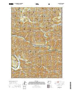
2020 Map of Mapleton
USGS Topo · Published 2020About this map
Mapleton and Swisshome serve as central nodes in this coastal range landscape, where the Siuslaw River carves a winding path through the Siuslaw National Forest. The map documents a rugged timber and transit corridor defined by the confluence of numerous drainages like Indian Cr, Knowles Cr, and Deadwood Creek. Evidence of local industry and infrastructure is clear, from the Erskine Log Pond near Tide to the significant engineering of the Knowles Creek Tunnel / Ralph A Peterson Tunnel 7139.
Find a feature on this map
51 named features on this map. Tap any name to fly to it.
Don’t see what you’re looking for? This feature index may not catch every label — zoom into the map to look around manually.
Map Details
Editions of this 2020 Mapleton Map
This is the sole edition of this map. No revisions or reprints were ever made.
Other maps of this area
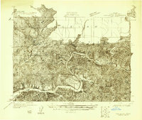
1918 · Mapleton
USGS Topo · 1:48,000
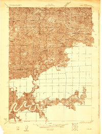
1919 · Earl
USGS Topo · 1:48,000
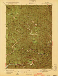
1940 · Mapleton
USGS Topo · 1:62,500
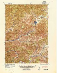
1941 · Blachly
USGS Topo · 1:62,500
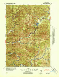
1942 · Blachly
USGS Topo · 1:62,500
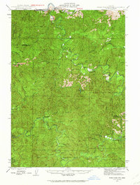
1942 · Roman Nose Mtn
USGS Topo · 1:62,500
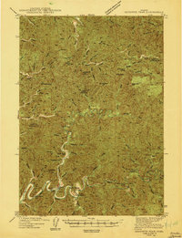
1943 · Goodwin Peak
USGS Topo · 1:62,500
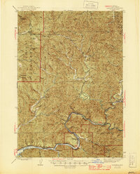
1945 · Mapleton
USGS Topo · 1:62,500
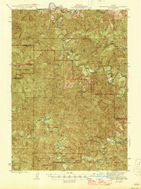
1945 · Roman Nose Mtn
USGS Topo · 1:62,500

1953 · Salem
USGS Topo · 1:250,000