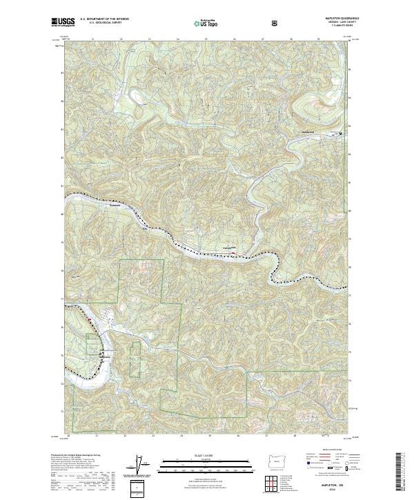
2024 Map of Mapleton
USGS Topo · Published 2024About this map
The Siuslaw River winds through the heart of this landscape, anchoring a series of small river-valley settlements including Mapleton, Swisshome, and Tide. The topography is defined by the steep timberlands of the Siuslaw National Forest, where drainage networks like Deadwood Creek and Lake Creek feed into the primary river system. Near Rainrock, the Erskine Log Pond remains a visible marker of the region's long-standing connection to the timber industry and river-based transport.
Find a feature on this map
51 named features on this map. Tap any name to fly to it.
Don’t see what you’re looking for? This feature index may not catch every label — zoom into the map to look around manually.
Map Details
Editions of this 2024 Mapleton Map
This is the sole edition of this map. No revisions or reprints were ever made.
Other maps of this area

1918 · Mapleton
USGS Topo · 1:48,000

1919 · Earl
USGS Topo · 1:48,000

1940 · Mapleton
USGS Topo · 1:62,500

1941 · Blachly
USGS Topo · 1:62,500

1942 · Blachly
USGS Topo · 1:62,500

1942 · Roman Nose Mtn
USGS Topo · 1:62,500

1943 · Goodwin Peak
USGS Topo · 1:62,500

1945 · Mapleton
USGS Topo · 1:62,500

1945 · Roman Nose Mtn
USGS Topo · 1:62,500

1953 · Salem
USGS Topo · 1:250,000