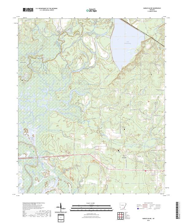
2024 Map of Marais Saline
USGS Topo · Published 2024About this map
The Saline River and Ouachita River converge within this corner of Arkansas, defining a landscape dominated by the Felsenthal National Wildlife Refuge. This lowland region is characterized by an intricate network of waterways including the Marais Saline, Carroll Slough, and Lake Georgia-Pacific. The presence of landmarks like Horton Island and Round Turn along the river bends illustrates the dynamic nature of these southern bottomlands.
Find a feature on this map
71 named features on this map. Tap any name to fly to it.
Don’t see what you’re looking for? This feature index may not catch every label — zoom into the map to look around manually.
Map Details
Editions of this 2024 Marais Saline Map
This is the sole edition of this map. No revisions or reprints were ever made.
Other maps of this area

1934 · Ingalls
USGS Topo · 1:48,000

1934 · Felsenthal
USGS Topo · 1:62,500

1937 · Felsenthal
USGS Topo · 1:62,500

1937 · Ingalls
USGS Topo · 1:62,500

1938 · Felsenthal
USGS Topo · 1:62,500

1939 · Felsenthal
USGS Topo · 1:62,500

1939 · Ingalls
USGS Topo · 1:62,500

1953 · Greenwood
USGS Topo · 1:250,000

1953 · El Dorado
USGS Topo · 1:250,000

1956 · Greenwood
USGS Topo · 1:250,000