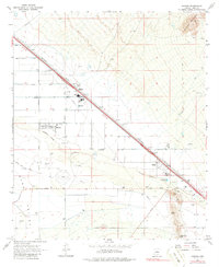
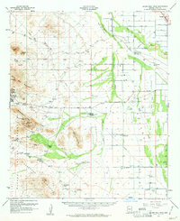
1967 Map of Marana
USGS Topo · Published 1986About this map
The Santa Cruz River and the Southern Pacific railroad corridor define this agricultural and industrial landscape northwest of Tucson in the late 1960s. The town of Marana serves as a central hub, anchored by the Marana High Sch and Jr High Sch, with large Storage Bins and a rail Marana (Siding) indicating the area's importance to regional transport. To the southeast, the small settlement of Rillito sits near the riverbanks, where an Industrial Waste Pond and nearby Tailings reflect the industrial footprint of the era.
Find a feature on this map
36 named features on this map. Tap any name to fly to it.
Don’t see what you’re looking for? This feature index may not catch every label — zoom into the map to look around manually.
Map Details
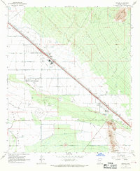
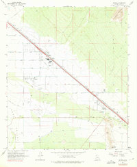
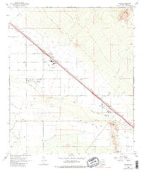
Editions of this 1967 Marana Map
4 editions found
Other maps of this area

1934 · Tucson Mountains
USGS Topo · 1:125,000

1934 · Newman Peak
USGS Topo · 1:125,000

1947 · Cortaro
USGS Topo · 1:62,500

1947 · Red Rock
USGS Topo · 1:62,500

1956 · Tucson
USGS Topo · 1:250,000

1957 · Cortaro
USGS Topo · 1:62,500

1958 · Tucson
USGS Topo · 1:250,000

1959 · Tucson
USGS Topo · 1:250,000

1959 · Tortolita Mts
USGS Topo · 1:62,500
1959 · Silver Bell Peak
USGS Topo · 1:62,500