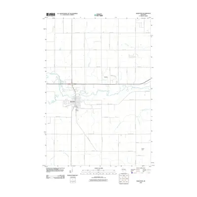
2010 Map of Marathon
USGS Topo · Published 2010About this map
The Big Rib River meanders across this landscape, defining the geography around the village of Marathon. This 2010 survey shows a well-established network of county highways and local roads, such as County Hwy-NN and Packer Dr, which connect the residential and agricultural plots of central Wisconsin. Local history and genealogy interest is concentrated near the settlement, where Saint Marys Cemetery and Saint Matthews Cemetery are located along the banks of Scotch Creek.
Find a feature on this map
51 named features on this map. Tap any name to fly to it.
Don’t see what you’re looking for? This feature index may not catch every label — zoom into the map to look around manually.
Map Details
Editions of this 2010 Marathon Map
This is the sole edition of this map. No revisions or reprints were ever made.
Other maps of this area

1899 · Wausau
USGS Topo · 1:125,000

1902 · Wausau
USGS Topo · 1:125,000

1902 · Marathon
USGS Topo · 1:125,000

1951 · Merrill
USGS Topo · 1:48,000

1951 · Hamburg
USGS Topo · 1:48,000

1953 · Wausau
USGS Topo · 1:48,000

1953 · Marathon
USGS Topo · 1:48,000

1954 · Iron Mountain
USGS Topo · 1:250,000

1955 · Green Bay
USGS Topo · 1:250,000

1959 · Iron Mountain
USGS Topo · 1:250,000