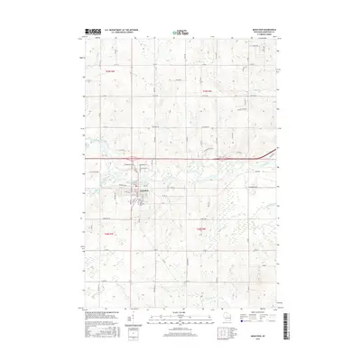
2015 Map of Marathon
USGS Topo · Published 2015About this map
The Big Rib River anchors the landscape of central Wisconsin as it flows past the village of Marathon. This mid-2010s survey reveals a community organized around the river and its tributaries, such as Scotch Creek and Artus Cr. Local history and genealogy are well-represented by the established sites of Saint Marys Cem and Saint Matthews Cem, located on the southern edge of the village. The layout of the region shows a mix of rural development and agricultural grid lines, with named roads like Whippoorwill Rd and Scotch Creek Rd providing access to the wooded banks and creek beds. Further south, the terrain is shaped by the paths of Kennedy Cr and Fourmile Cr, indicating the drainage patterns that have historically defined land use and property boundaries in this part of Marathon County.
Find a feature on this map
43 named features on this map. Tap any name to fly to it.
Don’t see what you’re looking for? This feature index may not catch every label — zoom into the map to look around manually.
Map Details
Editions of this 2015 Marathon Map
This is the sole edition of this map. No revisions or reprints were ever made.
Other maps of this area

1899 · Wausau
USGS Topo · 1:125,000

1902 · Wausau
USGS Topo · 1:125,000

1902 · Marathon
USGS Topo · 1:125,000

1951 · Merrill
USGS Topo · 1:48,000

1951 · Hamburg
USGS Topo · 1:48,000

1953 · Wausau
USGS Topo · 1:48,000

1953 · Marathon
USGS Topo · 1:48,000

1954 · Iron Mountain
USGS Topo · 1:250,000

1955 · Green Bay
USGS Topo · 1:250,000

1959 · Iron Mountain
USGS Topo · 1:250,000