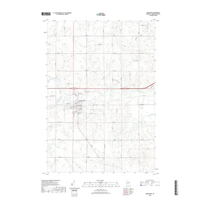
2018 Map of Marathon
USGS Topo · Published 2018About this map
Marathon City stands as the primary hub in this central Wisconsin landscape, situated along the northern banks of the Big Rib River. The grid of the village is clearly defined by residential streets such as 4th St and 6th St, with local history rooted at Saint Marys Cem and Saint Matthews Cem. The surrounding terrain is a network of agricultural lands and watercourses, including the notable Rolling Meadows area to the northeast.
Find a feature on this map
44 named features on this map. Tap any name to fly to it.
Don’t see what you’re looking for? This feature index may not catch every label — zoom into the map to look around manually.
Map Details
Editions of this 2018 Marathon Map
This is the sole edition of this map. No revisions or reprints were ever made.
Other maps of this area

1899 · Wausau
USGS Topo · 1:125,000

1902 · Wausau
USGS Topo · 1:125,000

1902 · Marathon
USGS Topo · 1:125,000

1951 · Merrill
USGS Topo · 1:48,000

1951 · Hamburg
USGS Topo · 1:48,000

1953 · Wausau
USGS Topo · 1:48,000

1953 · Marathon
USGS Topo · 1:48,000

1954 · Iron Mountain
USGS Topo · 1:250,000

1955 · Green Bay
USGS Topo · 1:250,000

1959 · Iron Mountain
USGS Topo · 1:250,000