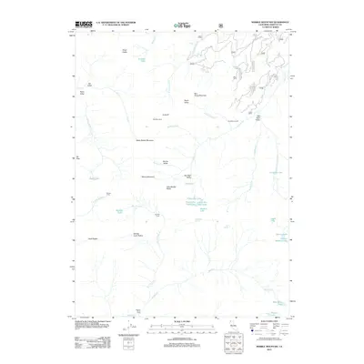
2012 Map of Marble Mountain
USGS Topo · Published 2012About this map
Marble Mountain and the dark peak of Black Marble Mountain anchor this wilderness section of Siskiyou County, where the high-elevation terrain is defined by complex drainage networks and remote seasonal outposts. The landscape is dotted with historically named locations for backcountry travelers, including Whisky Camp, Ananias Camp, and Anthony Milne Camp. These sites, along with the descriptively named Dads Pocket and Wooley Creek Pocket, suggest a long history of human activity focused on the region's natural resources and challenging geography.
Find a feature on this map
60 named features on this map. Tap any name to fly to it.
Don’t see what you’re looking for? This feature index may not catch every label — zoom into the map to look around manually.
Map Details
Editions of this 2012 Marble Mountain Map
This is the sole edition of this map. No revisions or reprints were ever made.
Other maps of this area

1914 · Seiad
USGS Topo · 1:125,000

1922 · Seiad
USGS Topo · 1:125,000

1948 · Weed
USGS Topo · 1:250,000

1950 · Weed
USGS Topo · 1:250,000

1955 · Sawyers Bar
USGS Topo · 1:62,500

1955 · Ukonom Lake
USGS Topo · 1:62,500

1955 · Scott Bar
USGS Topo · 1:62,500

1955 · Forks of Salmon
USGS Topo · 1:62,500

1958 · Weed
USGS Topo · 1:250,000

1963 · Weed
USGS Topo · 1:250,000