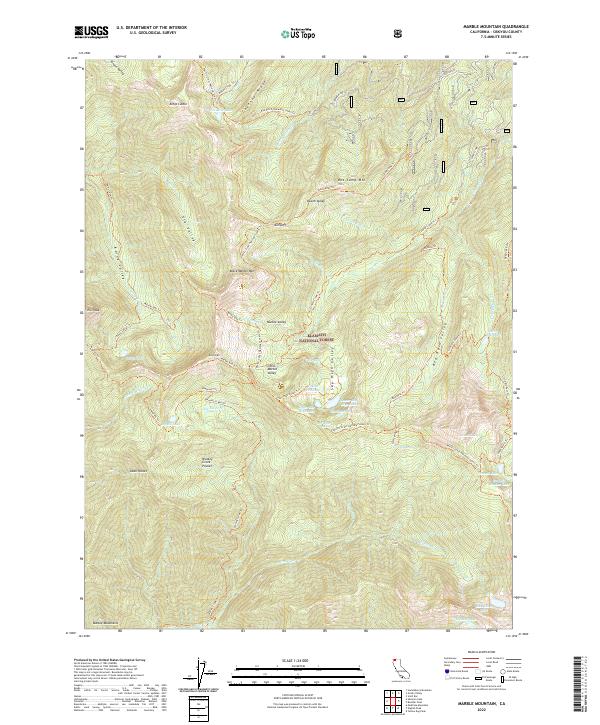
2022 Map of Marble Mountain
USGS Topo · Published 2022About this map
Klamath National Forest serves as the backdrop for this high-elevation landscape, where the Pacific Crest National Scenic Trl traverses a series of dramatic ridges and glacial basins. The area is defined by sharp peaks like Kings Castle and Black Marble Mtn, separated by deep alpine valleys such as Elk Valley and Sky High Valley. This 2022 survey details a complex network of backcountry routes, including the Haypress Trl and Marble Rim Trl, connecting numerous small water bodies like Paradise Lake, Frying Pan Lake, and Summit Lake. The concentration of named pockets and valleys, such as Dads Pocket and Little Marble Valley, reflects the detailed mapping of this wilderness area within the Marble Mountains. The presence of features like Soft Water Spring and Cold Spring highlights the importance of water sources for those navigating the high country.
Find a feature on this map
65 named features on this map. Tap any name to fly to it.
Don’t see what you’re looking for? This feature index may not catch every label — zoom into the map to look around manually.
Map Details
Editions of this 2022 Marble Mountain Map
This is the sole edition of this map. No revisions or reprints were ever made.
Other maps of this area

1914 · Seiad
USGS Topo · 1:125,000

1922 · Seiad
USGS Topo · 1:125,000

1948 · Weed
USGS Topo · 1:250,000

1950 · Weed
USGS Topo · 1:250,000

1955 · Sawyers Bar
USGS Topo · 1:62,500

1955 · Ukonom Lake
USGS Topo · 1:62,500

1955 · Scott Bar
USGS Topo · 1:62,500

1955 · Forks of Salmon
USGS Topo · 1:62,500

1958 · Weed
USGS Topo · 1:250,000

1963 · Weed
USGS Topo · 1:250,000